
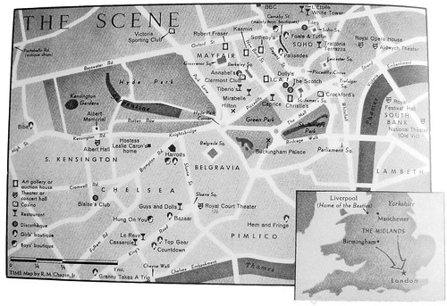
While going through these books I keep coming across cute maps of London - usually for magazines or shopping guides, pointing out all the 'in' places to go. They've got so much personality, like the hand-drawn maps you find in the beginning of story books as a kid.

This map of Kensington by Chris Price is my favourite. It's from the book 'In Biba' by Delisia Howard - an incredible book that I will have to do a more detailed post on later!
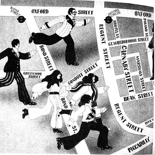
This map appeared in Time magazine, April 15 1966 as part of the now infamous 'London: Swinging City' feature that introduced the concept of 'Swinging London' to America. Hordes of tourists headed to Carnaby Street to catch a bit of the action - only to find that the golden era of Carnaby Street was already over.
Map by Malcolm English. I don't know much about this one but I love the giant people rushing to Carnaby Street!
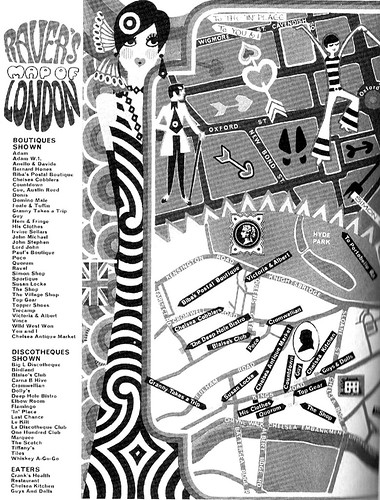
Map from Rave magazine, April 1966.
When looking at London maps, you can't go past the classic design triumph of the tube map:
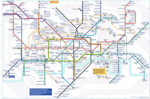 Pity everyone else ever has already been inspired by it. Ok maybe not everyone, but it just makes me think of the thousands of map-covered tote bags and barbecue aprons you get in souvenir shops...
When looking at London maps, you can't go past the classic design triumph of the tube map:
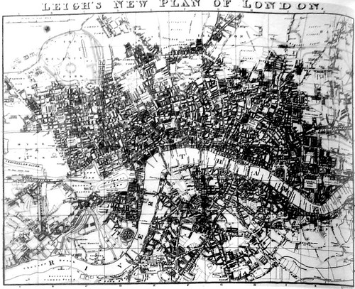
Leigh's map of London, 1818. Puts the ordered simplicity of the tube map into perspective, doesn't it?
No comments:
Post a Comment